The Food Security Platform (TEP) Service Portfolio
The Food Security Platform provides the following services to its users:
- An easy to use cloud platform offering direct access to key satellite products and derived data, backed up by a scalable processing infrastructure. To learn more about our pricing, check out our General Platform Services Offer!
- Access to tools for on-demand computing of basic key indices (vegetation and water content indices from Sentinel-2 data, as well as chlorophyll, soil and red edge indices) on the fly, and for visualising and manipulating them. To allow for an easy way of calculating indices with standard EO software (SNAP) or by scripting (R), the respective templates to calculate user-defined indices using these software packages are provided. Cost and accessibility of these open-source tools are described here.
- Provision of high-accuracy, quality checked biophysical parameters (Leaf Area, fAPAR, fCOVER, NDVI), suitable for use in operational scenarios. In addition, high-quality Sentinel-2 Bottom-of-Atmosphere (BoA) reflectance products are available as input for user-developed services. EO products for Service Pilot regions are available in product collections on the platform and can be discovered using the Food Security TEP Analyst. Public processing services that provide these quality checked parameters are made available by the respective EO service providers in an ongoing process. To learn more about the details of the currently available processing services, visit our Self-service Offer.
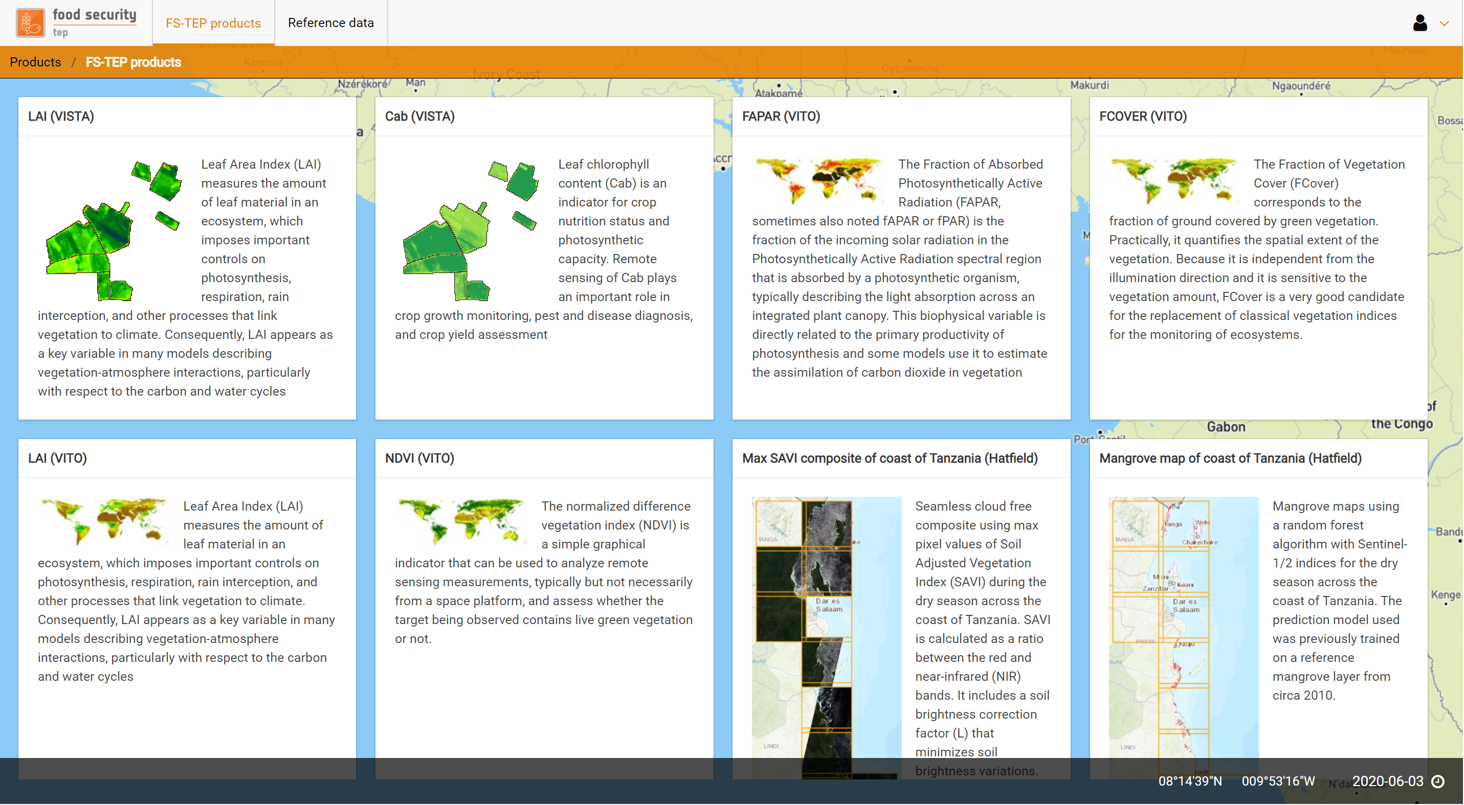
- Subscription to selected services of Food Security TEP EO service providers for your region of interest (ROI) and time periods. To discover more abour our specific agriculture and aquaculture focused full-service subscriptions like crop typing, crop monitoring and mangrove mapping visit our Full-Service Product Subscription Offer.
- The ability to easily develop new services, with the ability to share processors and outputs only with selected user groups. Non-experts can easily develop their own algorithms using standard software packages (SNAP, R Studio, Orfeo, QGIS), while advanced users are able to deploy their own software and algorithms on the platform using the widely-used Docker platform technology.
- Provision of supplemental non-EO data for integration into service processors. The following data sets will be integrated into the platform by descending order. To understand how to access these datasets using the API please consult the user manual, visit the user forums or contact the Food Security TEP Support. Available datasets are also visualized in the Food Security TEP Analyst View, so you can easily discover the data online. (Note: Complementary datasets are hosted for use on the Food Security TEP only, so no download options are available on the platform. To download supplemental datasets, please visit the respective websites listed below.)
| Supplemental Dataset | Spatial res. | General information and metadata | Scheduled |
|---|---|---|---|
|
ALOS Global Digital Surface Elevation Model (AW3D30) |
30 m | http://www.eorc.jaxa.jp/ALOS/en/aw3d30/index.htm | available |
|
Copernicus Pan-European High Resolution Layers 2015 |
20 m | https://land.copernicus.eu/pan-european/high-resolution-layers | available |
|
GFSAD 30m Global Cropland Extent 2015
|
30 m | https://croplands.org/ | available |
|
ESA Climate Change Initiative Global Landcover 2015 |
300 m | https://www.esa-landcover-cci.org | available |
|
GADM Global Administrative Areas 2018
|
(vector) | https://gadm.org/data.html | available |
|
JRC European Soil Database (ESDB) Derived Data (selected properties)
|
1 km | https://esdac.jrc.ec.europa.eu/content/european-soil-database-derived-data | upcoming |
| SEDAC Gridded Population of the World (GPW), v4 | 30 arcsec | http://sedac.ciesin.columbia.edu/data/collection/gpw-v4 | upcoming |
|
CHIRPS global precipitation data (since 1981) |
0.05° | http://chg.geog.ucsb.edu/data/chirps/ | source accessible |
|
IIASA Harmonized World Soil Database (HWSD)
|
30 arcsec |
http://www.iiasa.ac.at/web/home/research/researchPrograms/water/HWSD.html |
upcoming |
|
Global Yield and Water Use Efficiency Maps of the Virtual Water Values (ViWa) project
|
30 arcsec | http://viwa.geographie-muenchen.de | upcoming |
- Access to the Food Security TEP user community, allowing service providers to interact with a range of users through dedicated forums.
- Technical support from the Food Security Platform team, including addition of new features and data upon user request (subject to available resources).
- Free resources and support to selected application developers were provided by ESA in the early project phases (since June 2018). Currently, interested users are invited to check out our pricelist and request support for scientific and pre-commercial R&D projects from the ESA EO Network of Resources.